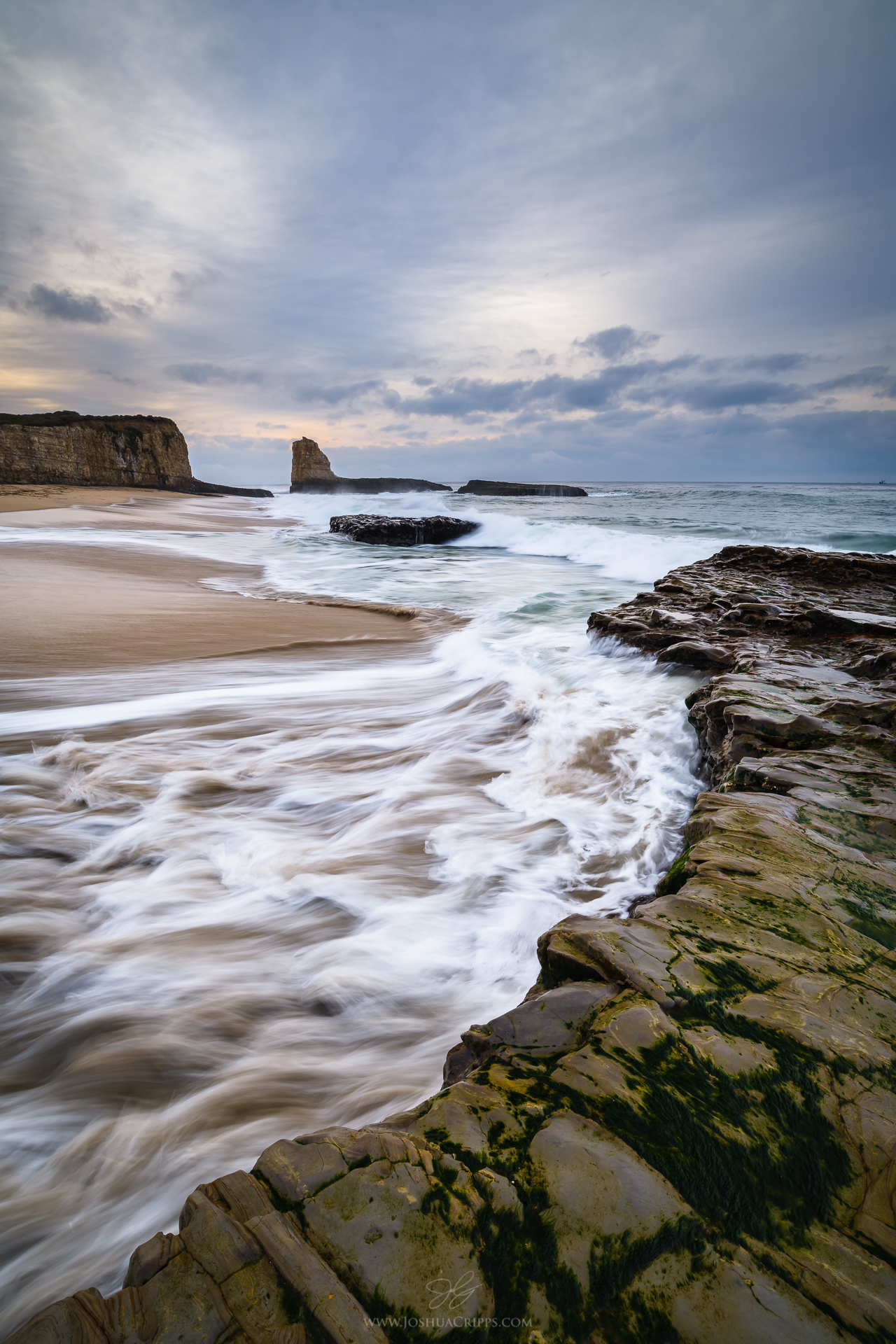
Photographing the Santa Cruz Coast
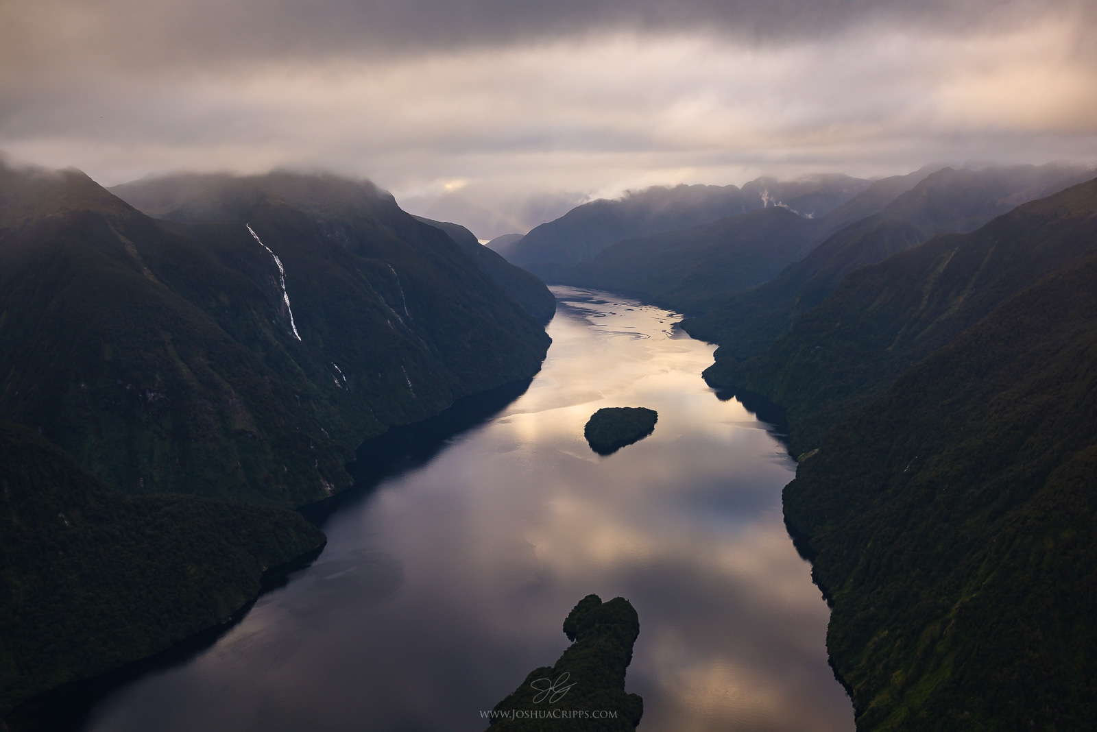
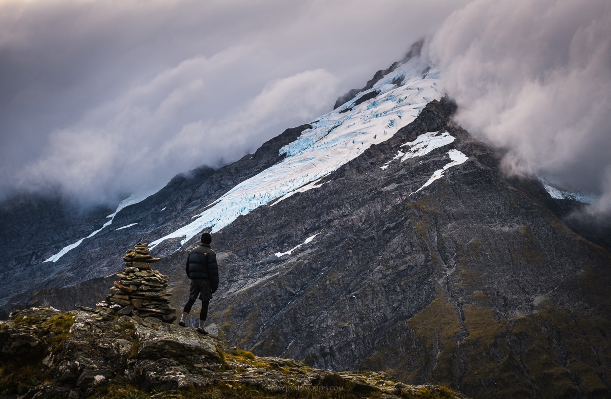
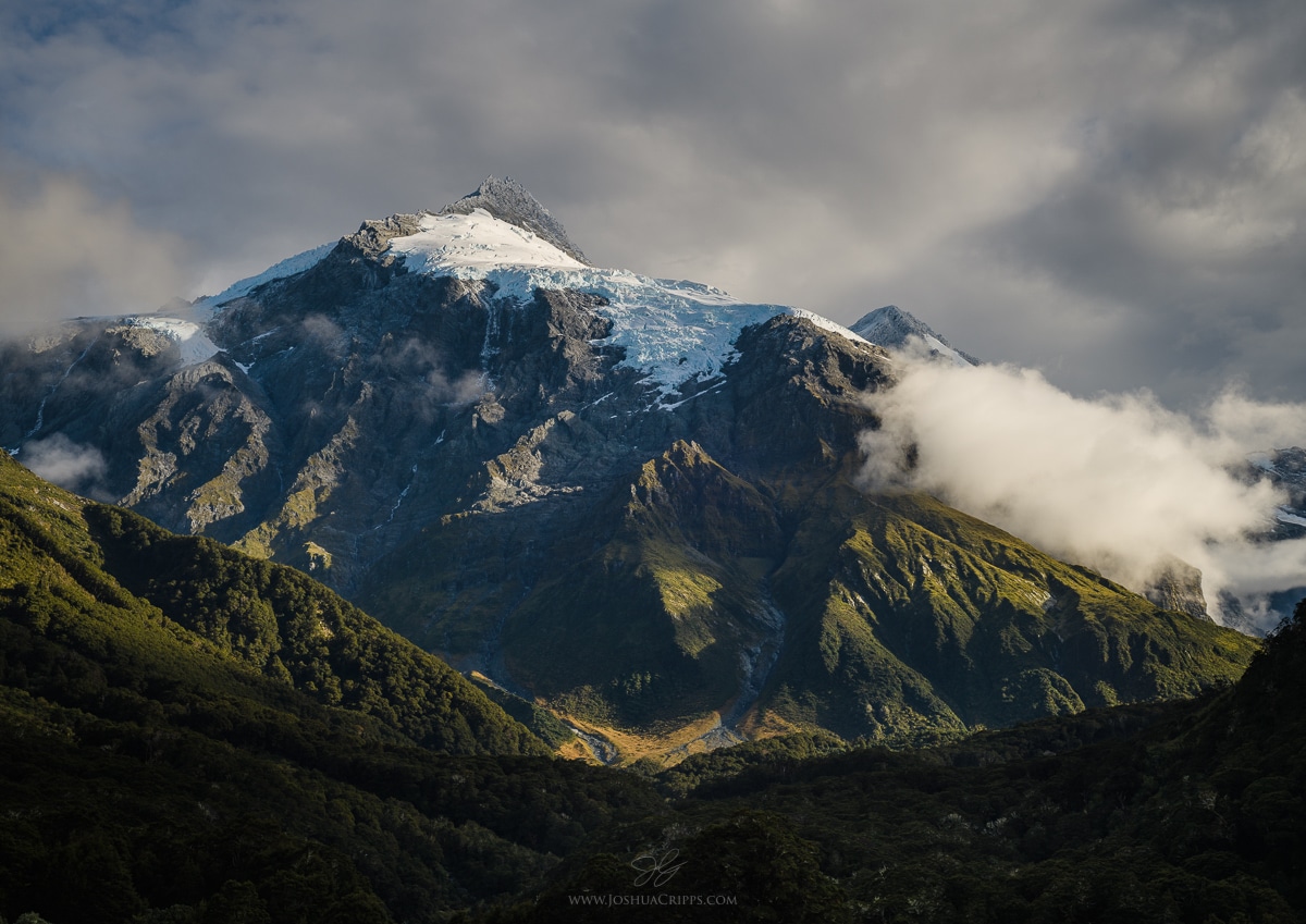
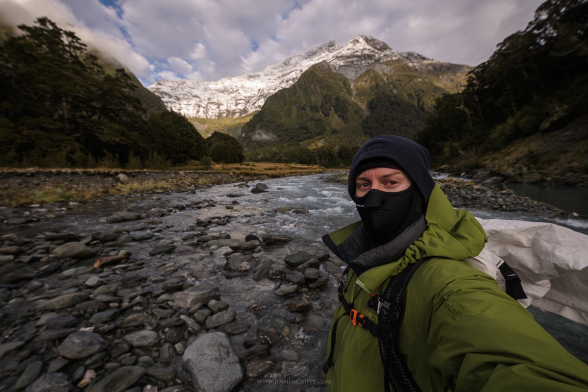
[av_textblock size=” font_color=” color=” av-medium-font-size=” av-small-font-size=” av-mini-font-size=” admin_preview_bg=”] If you missed Part 1 of this trip report covering my first two days at the Top Forks Hut in Mt. Aspiring National Park in New Zealand, go back and read that first! Top Forks Hut Trip Report [/av_textblock] [av_heading tag=’h3′ padding=’10’ heading=’Day 3′ color=” style=” custom_font=” […]
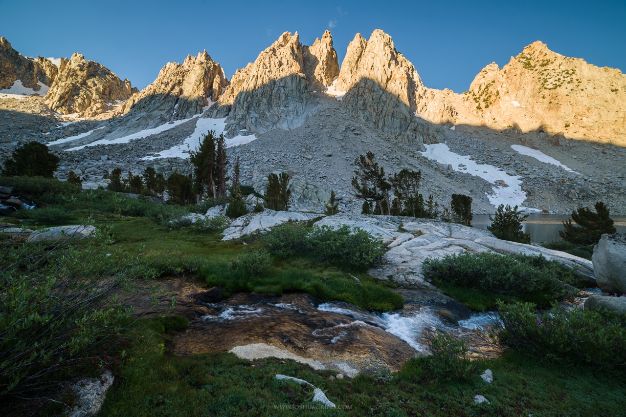
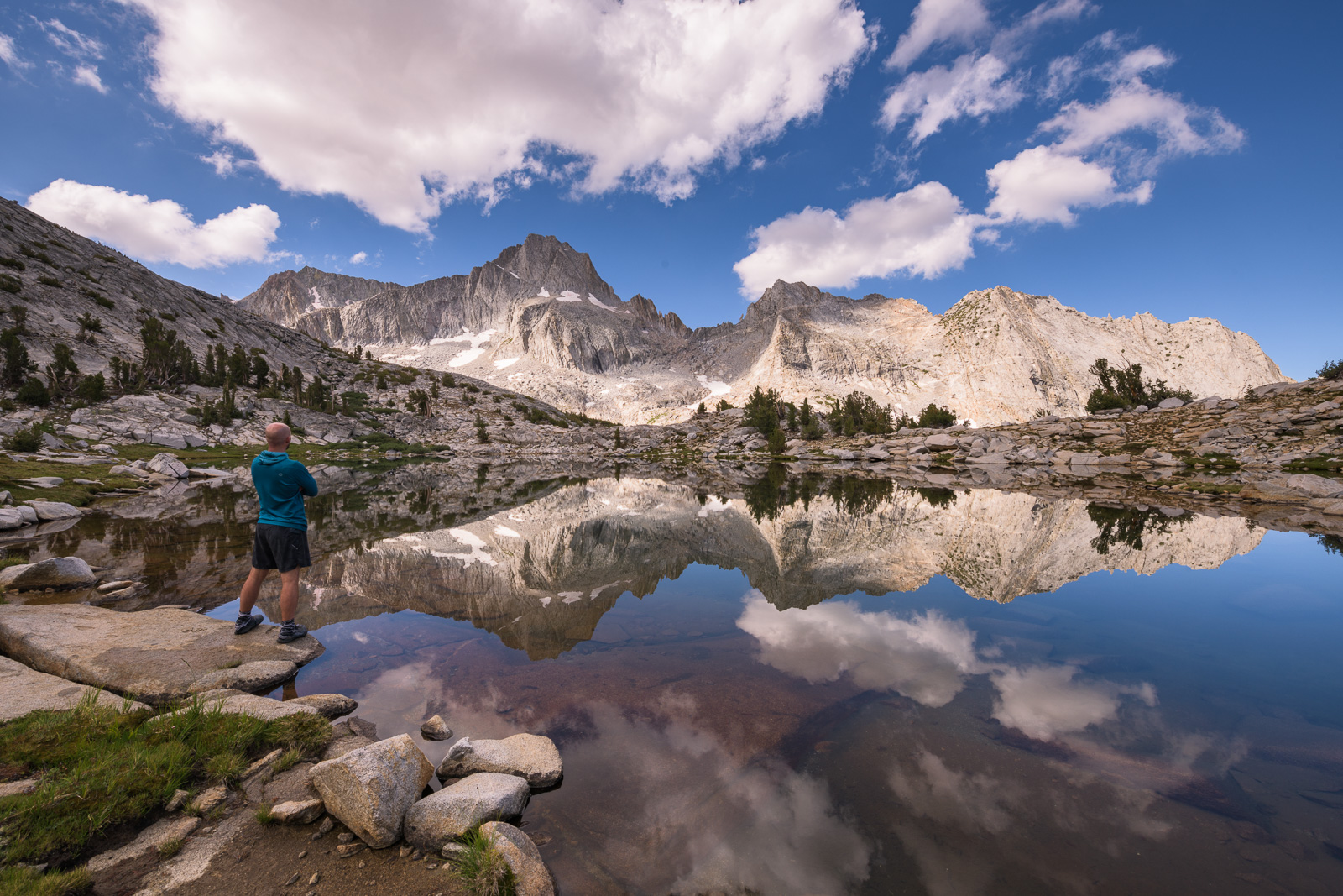
[av_one_full first min_height=” vertical_alignment=” space=” custom_margin=” margin=’0px’ padding=’0px’ border=” border_color=” radius=’0px’ background_color=” src=” background_position=’top left’ background_repeat=’no-repeat’ animation=” mobile_breaking=” mobile_display=”] [av_textblock size=” font_color=” color=” av-medium-font-size=” av-small-font-size=” av-mini-font-size=” admin_preview_bg=”] 2017 has blown past us and we’re already steamrolling deep into 2018. January 2018 was so busy for me I barely had a chance to reflect on the […]
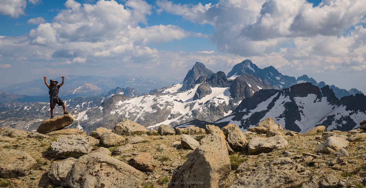
[av_one_full first min_height=” vertical_alignment=” space=” custom_margin=” margin=’0px’ padding=’0px’ border=” border_color=” radius=’0px’ background_color=” src=” background_position=’top left’ background_repeat=’no-repeat’ animation=” mobile_breaking=” mobile_display=”] [av_textblock size=” font_color=” color=” av-medium-font-size=” av-small-font-size=” av-mini-font-size=” admin_preview_bg=”] 2017 has blown past us and we’re already steamrolling deep into 2018. January 2018 was so busy for me I barely had a chance to reflect on the […]
[av_one_full first min_height=” vertical_alignment=” space=” custom_margin=” margin=’0px’ padding=’0px’ border=” border_color=” radius=’0px’ background_color=” src=” background_position=’top left’ background_repeat=’no-repeat’ animation=” mobile_breaking=” mobile_display=”] [av_textblock size=” font_color=” color=” av-medium-font-size=” av-small-font-size=” av-mini-font-size=” admin_preview_bg=”] 2017 has blown past us and we’re already steamrolling deep into 2018. January 2018 was so busy for me I barely had a chance to reflect on the […]